Site Page
Use this page to view and update the details of an existing site.
Details
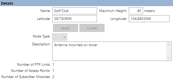
View and update the Name, Maximum Height, Latitude, Longitude and Description. For field definitions, see Creating Sites. To change the Latitude and/or Longitude enter the new value and select Accept to confirm the change or Cancel to return to the previous value. Once Apply is selected the site is moved to the new coordinates, moving any hub, APs or subscribers at that site and the path profiles for any links connected to that site are automatically updated (if a network connection exists).
Node Type only applies to 60 GHz cnWave networks, leave blank for all other networks. For 60 GHz networks select either DN or POP to define the site.

Details in Site Page
Links
For a network site this is a list of PTP links that have been defined between this site and other sites in the project. For a subscriber site this is a list of PMP Links that have been defined between this subscriber site and Access Points in the network.
To add or remove columns to the list, right click and tick or untick columns. If the link is displayed in red, it means that the predicted performance of the link is below requirements. Double-click on a link to open the Link page to evaluate the link, as described in Link Page for PTP links or Subscriber Modules.

PTP Links in Site Page
Links Graph
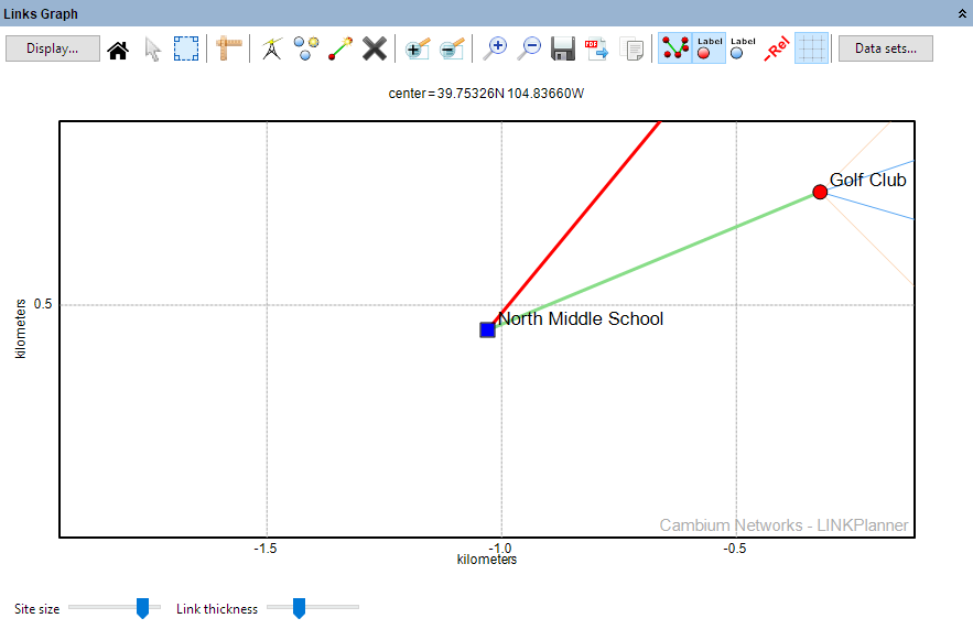
This is a map of the sites and links in the project. Link lines are colored to indicate whether or not their predicted performance meets requirements: red means performance is not acceptable, green means performance is acceptable.

Links Graph in Site Page
Display Properties
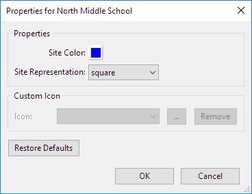
Select the site color and style or icon for this site to be used in the map displays.

Display Properties in Site Page
Bill of Materials for Switch
LINKPlanner automatically calculates the Bill of Materials (BOM) for the switch. To add a switch see Adding Switches. To edit a switch configuration click Edit Tower Switch  or delete a switch by clicking on Delete Tower Switch
  .
.

Edit or Delete Tower Switch